
3D and 2D campus map · Salt Lake City, Utah
University of Utah Campus Map
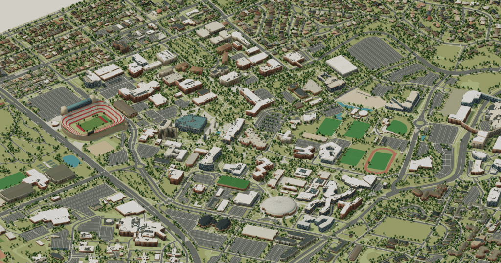
Rotate the campus, zoom in on any building and click it to see what is inside.
- Drag to orbit
- Scroll or pinch to zoom
- Click a building for details
- Right-drag to pan

Jump to a building
Pick a building to fly the map to it and open its departments and services. Every place at University of Utah is also searchable from the map itself.
University of Utah
Campus directory
Faculties, departments, libraries and services across the campus. Pick one and the map takes you there, in 3D or 2D.
No matching places. Try another name.
About this map
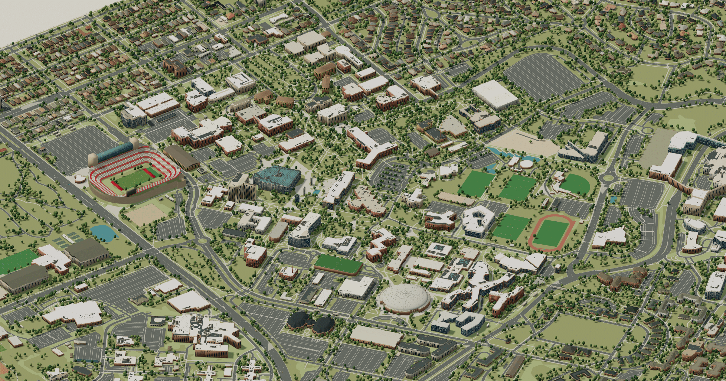
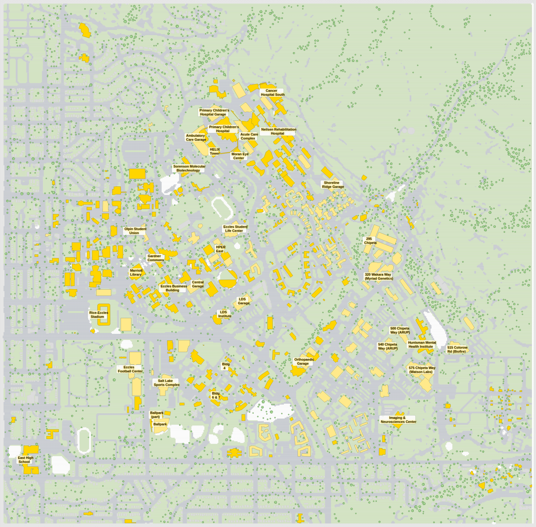
The University of Utah climbs the bench above the Salt Lake Valley, and the views west are part of the campus. Presidents Circle and the Park Building form the historic core, the J. Willard Marriott Library and the Olpin Student Union sit at the centre, Kingsbury Hall and the sciences lie east, Fort Douglas and housing occupy the upper slopes, and Rice-Eccles Stadium is to the south. Feel the gradient in 3D; for a TRAX stop or a lecture hall, the 2D plan is clearer.
University of Utah in 3D
University of Utah 2D plan
More campus maps
- Brigham Young UniversityProvo, Utah
- California Polytechnic State University, San Luis ObispoSan Luis Obispo, California
- California State University, SacramentoSacramento, California
- Louisiana State UniversityBaton Rouge, Louisiana
- North Carolina State UniversityRaleigh, North Carolina
- Purdue UniversityWest Lafayette, Indiana
- University of ArkansasFayetteville, Arkansas
- University of Colorado BoulderBoulder, Colorado
- University of FloridaGainesville, Florida
- University of Maryland, College ParkCollege Park, Maryland
- University of Southern CaliforniaLos Angeles, California
- University of Tennessee, KnoxvilleKnoxville, Tennessee