
3D and 2D campus map · Provo, Utah
Brigham Young University (BYU) Campus Map
Rotate the campus, zoom in on any building and click it to see what is inside.
- Drag to orbit
- Scroll or pinch to zoom
- Click a building for details
- Right-drag to pan

Jump to a building
Pick a building to fly the map to it and open its departments and services. Every place at Brigham Young University is also searchable from the map itself.
Brigham Young University
Campus directory
Faculties, departments, libraries and services across the campus. Pick one and the map takes you there, in 3D or 2D.
No matching places. Try another name.
About this map
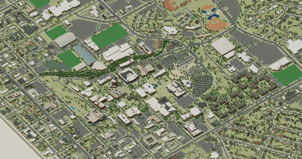
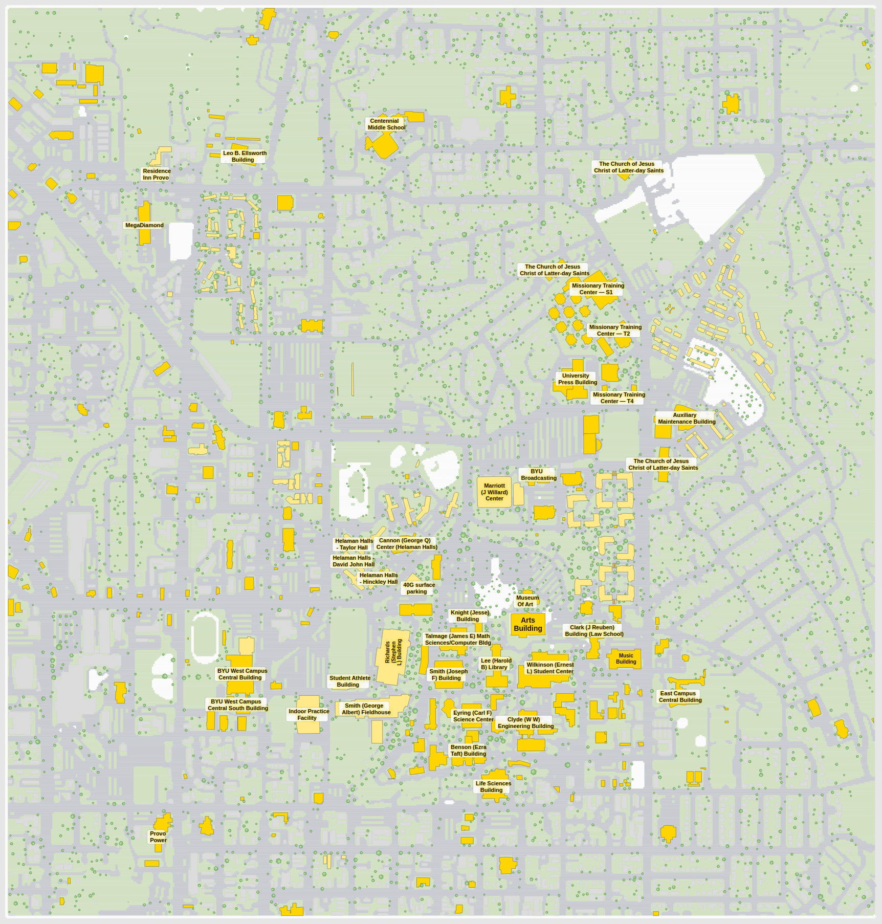
Brigham Young University spreads across terraces at the foot of Y Mountain in Provo. The Harold B. Lee Library and the Karl G. Maeser Building sit in the middle, the Wilkinson Student Center is close by, the sciences and engineering lie west, and the Marriott Center and LaVell Edwards Stadium are at the north end. The 3D model shows the stepped site and the mountain behind it; switch to 2D to see every building name at once.
Brigham Young University in 3D
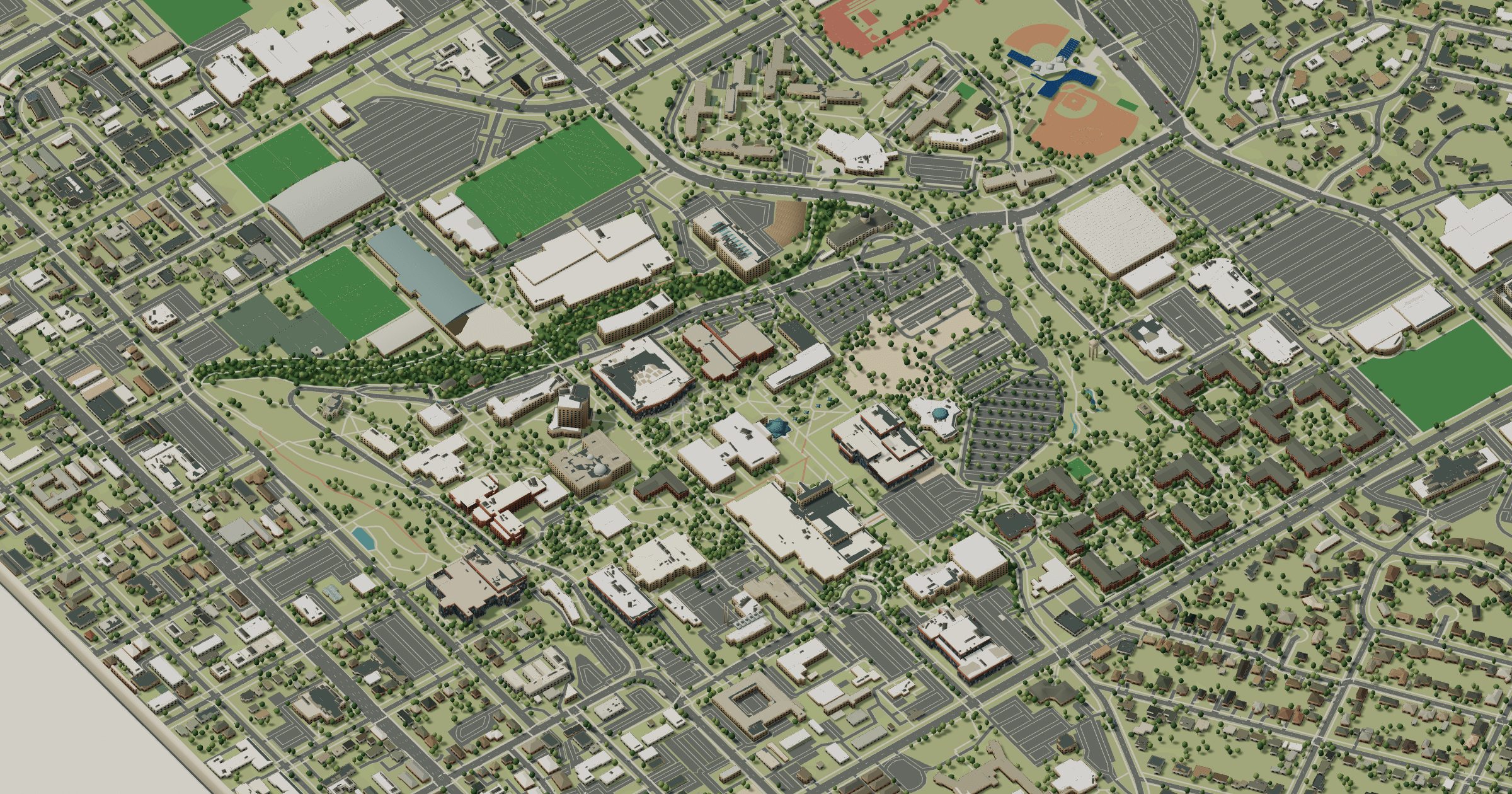
Brigham Young University 2D plan
More campus maps
- University of UtahSalt Lake City, Utah
- California State University, FresnoFresno, California
- Oregon State UniversityCorvallis, Oregon
- San José State UniversitySan José, California
- The Ohio State UniversityColumbus, Ohio
- The Pennsylvania State UniversityUniversity Park, Pennsylvania
- University of California, Los AngelesWestwood, Los Angeles
- University of California, RiversideRiverside, California
- University of California, San DiegoLa Jolla, California
- University of California, Santa CruzSanta Cruz, California
- University of Central FloridaOrlando, Florida
- University of WashingtonSeattle, Washington