
3D and 2D campus map · San Luis Obispo, California
California Polytechnic State University, San Luis Obispo (Cal Poly) Campus Map
Rotate the campus, zoom in on any building and click it to see what is inside.
- Drag to orbit
- Scroll or pinch to zoom
- Click a building for details
- Right-drag to pan

Jump to a building
Pick a building to fly the map to it and open its departments and services. Every place at California Polytechnic State University, San Luis Obispo is also searchable from the map itself.
California Polytechnic State University, San Luis Obispo
Campus directory
Faculties, departments, libraries and services across the campus. Pick one and the map takes you there, in 3D or 2D.
No matching places. Try another name.
About this map
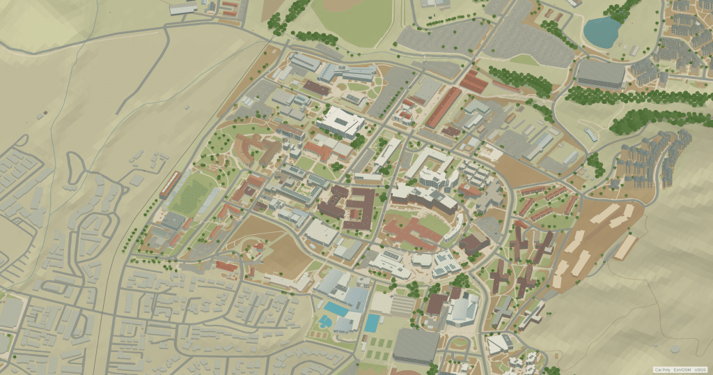
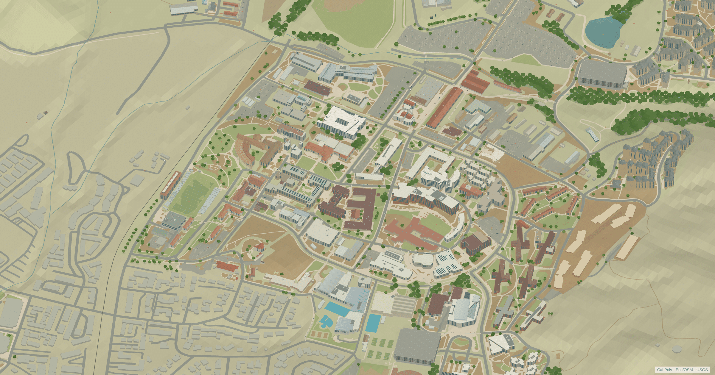
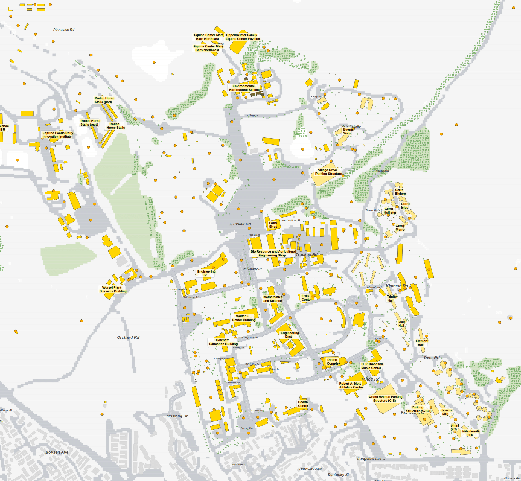
Cal Poly’s learn-by-doing campus climbs from the edge of San Luis Obispo into grazing land and chaparral, so terrain matters here more than at most universities. The core is easy to spot: Robert E. Kennedy Library, Dexter Lawn and the Julian A. McPhee University Union, with the Performing Arts Center and Spanos Stadium a short walk away. Up the slope sit the residence halls of Poly Canyon Village and yakʔitʸutʸu, and further out are the swine and dairy units, Cheda Ranch and the reservoirs. The 3D model keeps those hills in view. The 2D plan trades the landscape for clean labels and Cal Poly’s building numbers, handy when a syllabus only says Building 180.
California Polytechnic State University, San Luis Obispo in 3D
California Polytechnic State University, San Luis Obispo 2D plan
More campus maps
- California State University, FullertonFullerton, California
- California State University, NorthridgeNorthridge, California
- California State University, SacramentoSacramento, California
- San Diego State UniversitySan Diego, California
- University of California, BerkeleyBerkeley, California
- University of California, DavisDavis, California
- University of California, Santa BarbaraSanta Barbara, California
- University of Southern CaliforniaLos Angeles, California
- North Carolina State UniversityRaleigh, North Carolina
- Purdue UniversityWest Lafayette, Indiana
- University of Colorado BoulderBoulder, Colorado
- University of Tennessee, KnoxvilleKnoxville, Tennessee