
3D and 2D campus map · Berkeley, California
University of California, Berkeley (UC Berkeley) Campus Map
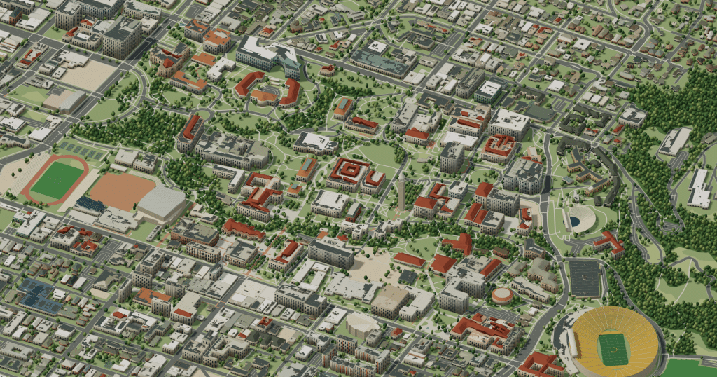
Rotate the campus, zoom in on any building and click it to see what is inside.
- Drag to orbit
- Scroll or pinch to zoom
- Click a building for details
- Right-drag to pan

Jump to a building
Pick a building to fly the map to it and open its departments and services. Every place at University of California, Berkeley is also searchable from the map itself.
University of California, Berkeley
Campus directory
Faculties, departments, libraries and services across the campus. Pick one and the map takes you there, in 3D or 2D.
No matching places. Try another name.
About this map
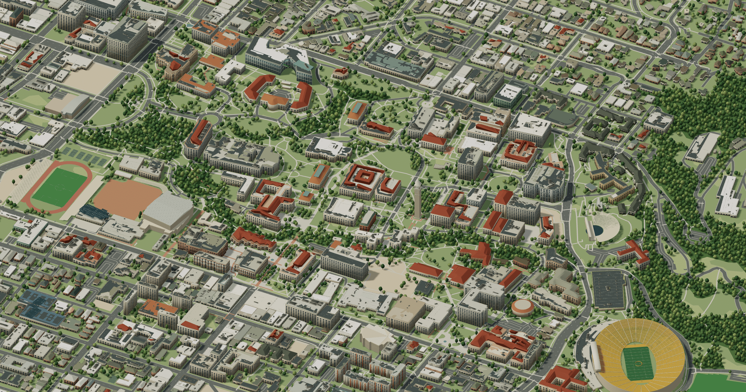
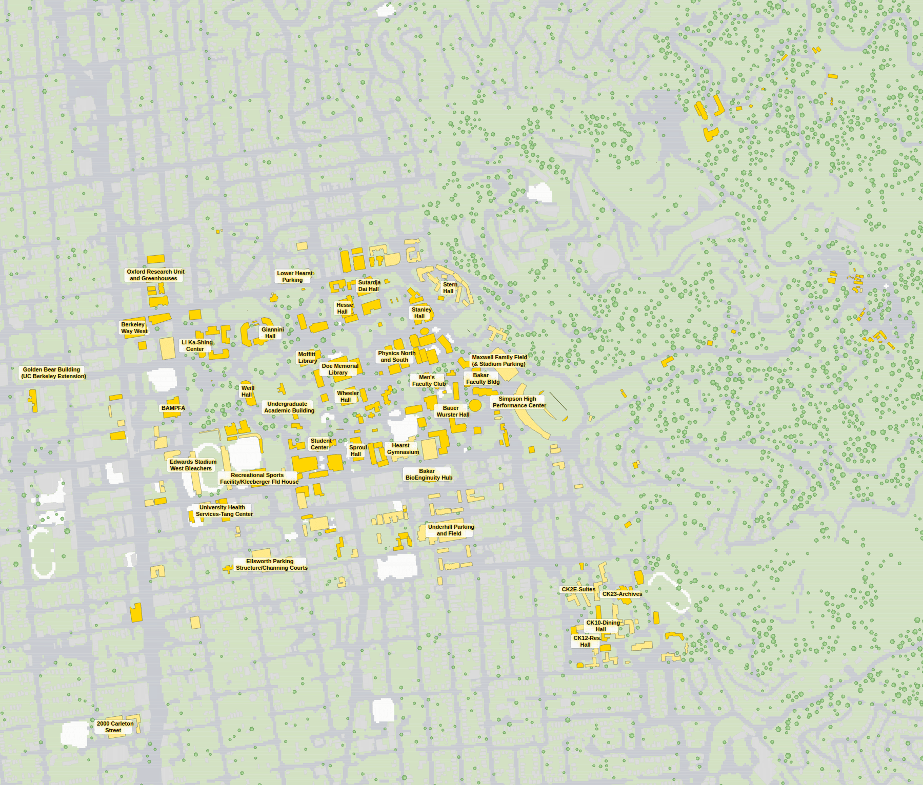
Sather Tower, the Campanile, rises over the University of California, Berkeley and makes a good fixed point. Doe and Moffitt libraries face Memorial Glade, Sather Gate opens onto Sproul Plaza and the Martin Luther King Jr. Student Union, Strawberry Creek runs through the groves, and California Memorial Stadium sits against the hills. In 3D the climb toward the Berkeley Hills is obvious; the 2D plan keeps lecture halls and garages easy to find.
University of California, Berkeley in 3D
University of California, Berkeley 2D plan
More campus maps
- California State University, FresnoFresno, California
- California State University, Long BeachLong Beach, California
- San José State UniversitySan José, California
- University of California, DavisDavis, California
- University of California, RiversideRiverside, California
- University of California, San DiegoLa Jolla, California
- University of California, Santa BarbaraSanta Barbara, California
- University of California, Santa CruzSanta Cruz, California
- Brigham Young UniversityProvo, Utah
- Oregon State UniversityCorvallis, Oregon
- The Pennsylvania State UniversityUniversity Park, Pennsylvania
- University of Central FloridaOrlando, Florida