
3D and 2D campus map · University Park, Pennsylvania
The Pennsylvania State University (Penn State) Campus Map
Rotate the campus, zoom in on any building and click it to see what is inside.
- Drag to orbit
- Scroll or pinch to zoom
- Click a building for details
- Right-drag to pan

Jump to a building
Pick a building to fly the map to it and open its departments and services. Every place at The Pennsylvania State University is also searchable from the map itself.
The Pennsylvania State University
Campus directory
Faculties, departments, libraries and services across the campus. Pick one and the map takes you there, in 3D or 2D.
No matching places. Try another name.
About this map
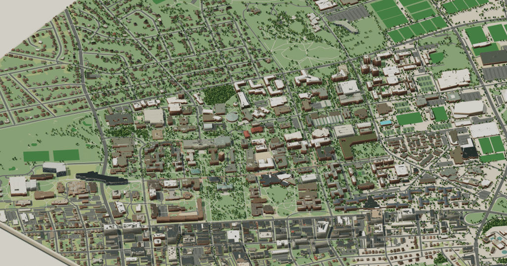
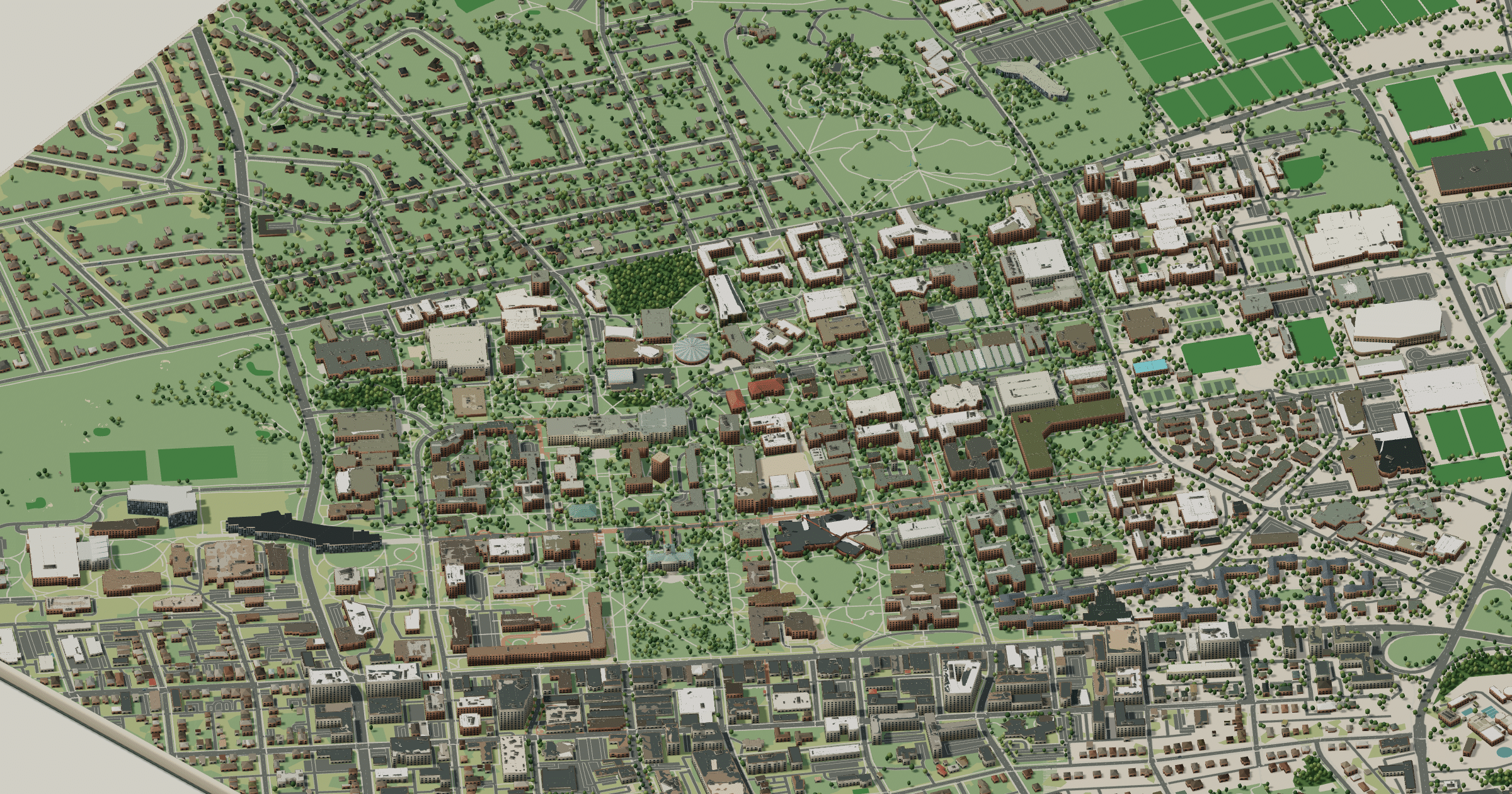
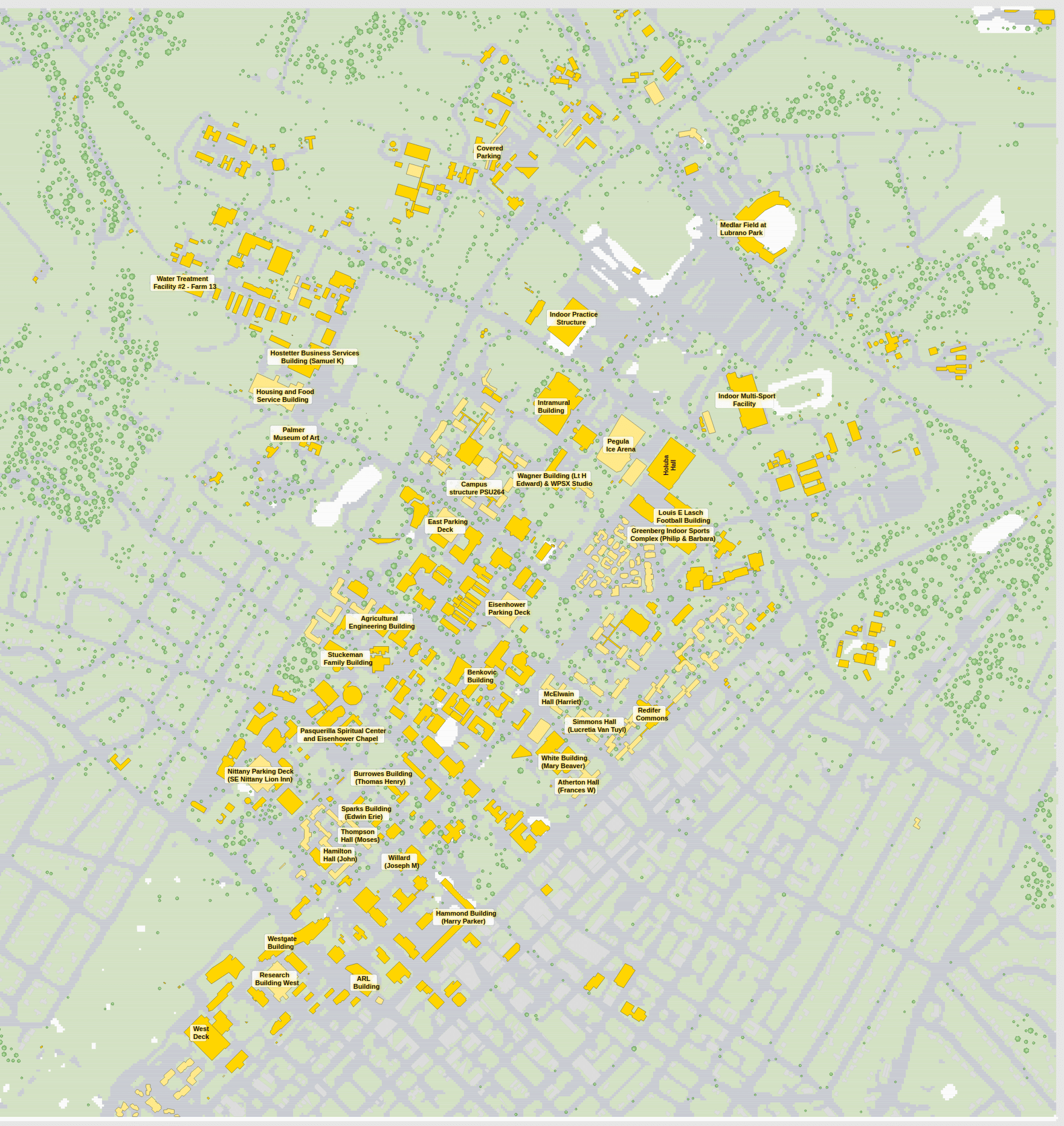
Old Main and its lawn sit at the head of Penn State’s University Park campus, and the elm-lined Mall runs from there past Pattee and Paterno libraries. The HUB-Robeson Center is the everyday meeting point; East Halls and West Halls hold most students; and Beaver Stadium, the Bryce Jordan Center and Pegula Ice Arena gather in the northeast. Seen in 3D, the campus stretches from College Avenue toward the farm fields, and the 2D plan lists each building’s departments.
The Pennsylvania State University in 3D
The Pennsylvania State University 2D plan
More campus maps
- Brigham Young UniversityProvo, Utah
- California State University, FresnoFresno, California
- Florida Atlantic UniversityBoca Raton, Florida
- Oregon State UniversityCorvallis, Oregon
- The Ohio State UniversityColumbus, Ohio
- University of California, BerkeleyBerkeley, California
- University of California, Los AngelesWestwood, Los Angeles
- University of California, RiversideRiverside, California
- University of California, San DiegoLa Jolla, California
- University of California, Santa CruzSanta Cruz, California
- University of Central FloridaOrlando, Florida
- University of WashingtonSeattle, Washington