
3D and 2D campus map · Fayetteville, Arkansas
University of Arkansas Campus Map
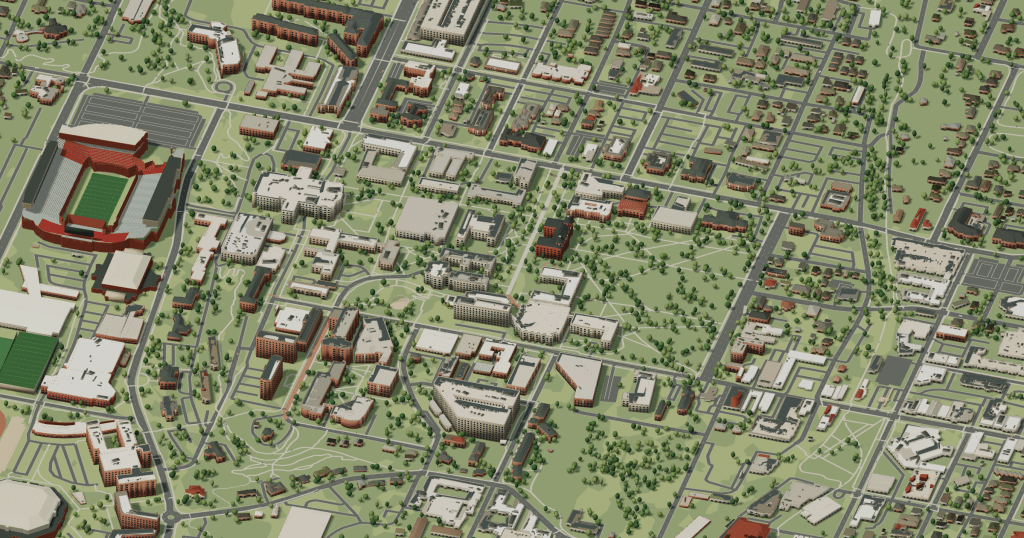
Rotate the campus, zoom in on any building and click it to see what is inside.
- Drag to orbit
- Scroll or pinch to zoom
- Click a building for details
- Right-drag to pan

Jump to a building
Pick a building to fly the map to it and open its departments and services. Every place at University of Arkansas is also searchable from the map itself.
University of Arkansas
Campus directory
Faculties, departments, libraries and services across the campus. Pick one and the map takes you there, in 3D or 2D.
No matching places. Try another name.
About this map
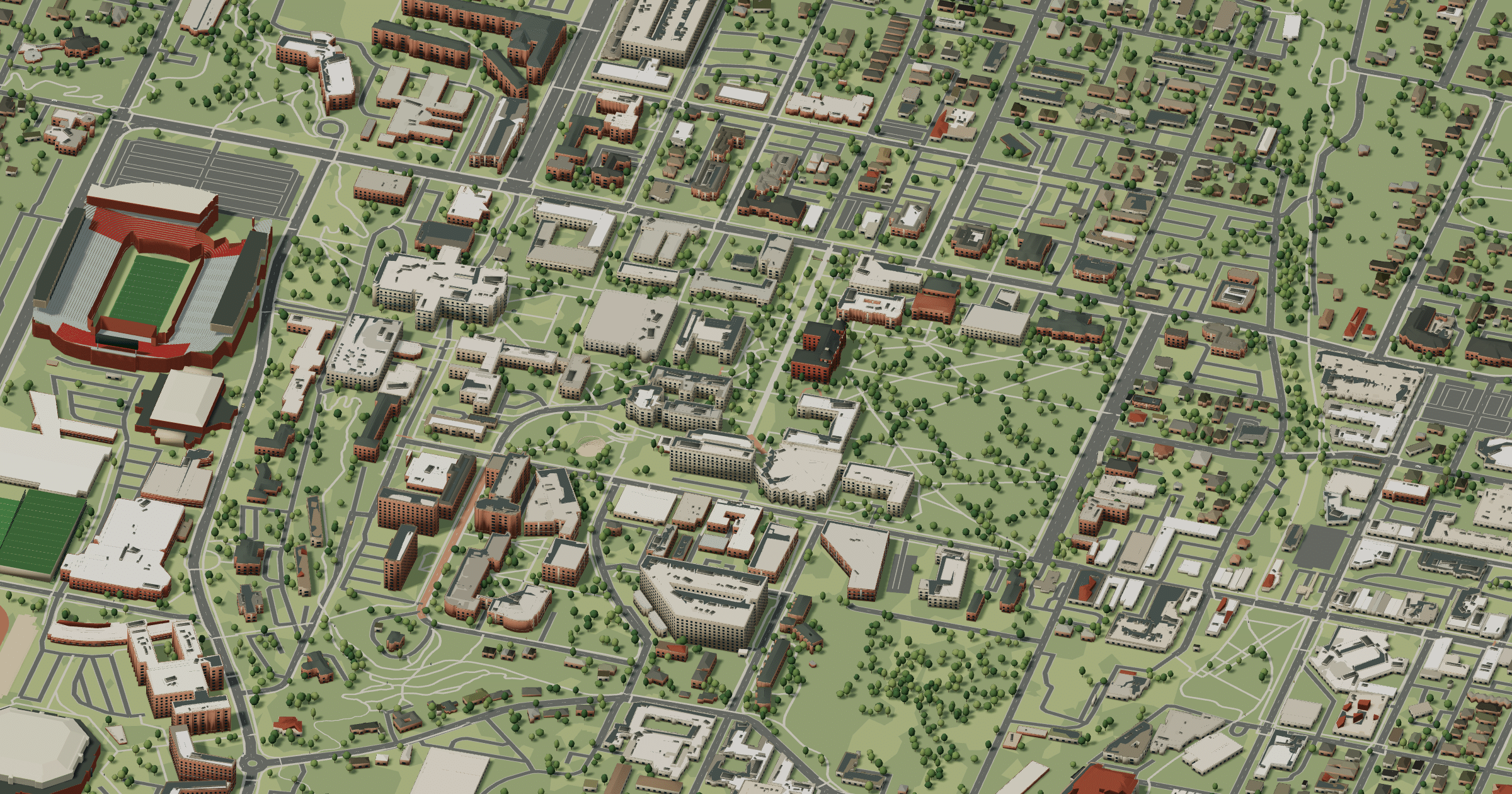
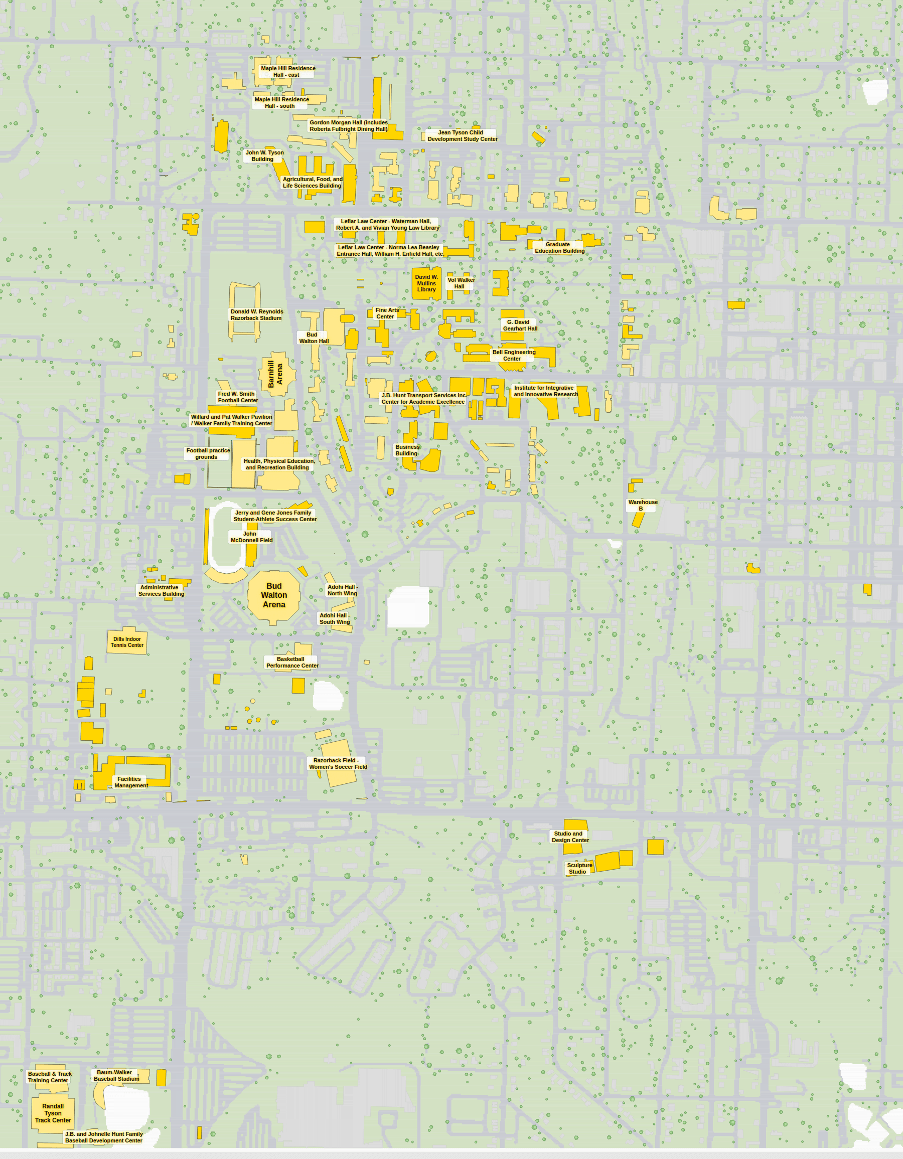
Old Main stands on its hill at the University of Arkansas in Fayetteville, and Senior Walk, inscribed with graduates’ names, leads away from it. David W. Mullins Library and the Arkansas Union are central, engineering and business buildings surround the greens, residence halls sit north and west, and Razorback Stadium and Bud Walton Arena are south. In 3D you can watch the ground fall away from Old Main; the 2D plan is the faster reference.
University of Arkansas in 3D
University of Arkansas 2D plan
More campus maps
- Brigham Young UniversityProvo, Utah
- California State University, FresnoFresno, California
- Oregon State UniversityCorvallis, Oregon
- San José State UniversitySan José, California
- The Ohio State UniversityColumbus, Ohio
- The Pennsylvania State UniversityUniversity Park, Pennsylvania
- University of California, Los AngelesWestwood, Los Angeles
- University of California, RiversideRiverside, California
- University of California, San DiegoLa Jolla, California
- University of California, Santa CruzSanta Cruz, California
- University of Central FloridaOrlando, Florida
- University of WashingtonSeattle, Washington