
3D and 2D campus map · Columbus, Ohio
The Ohio State University (OSU) Campus Map
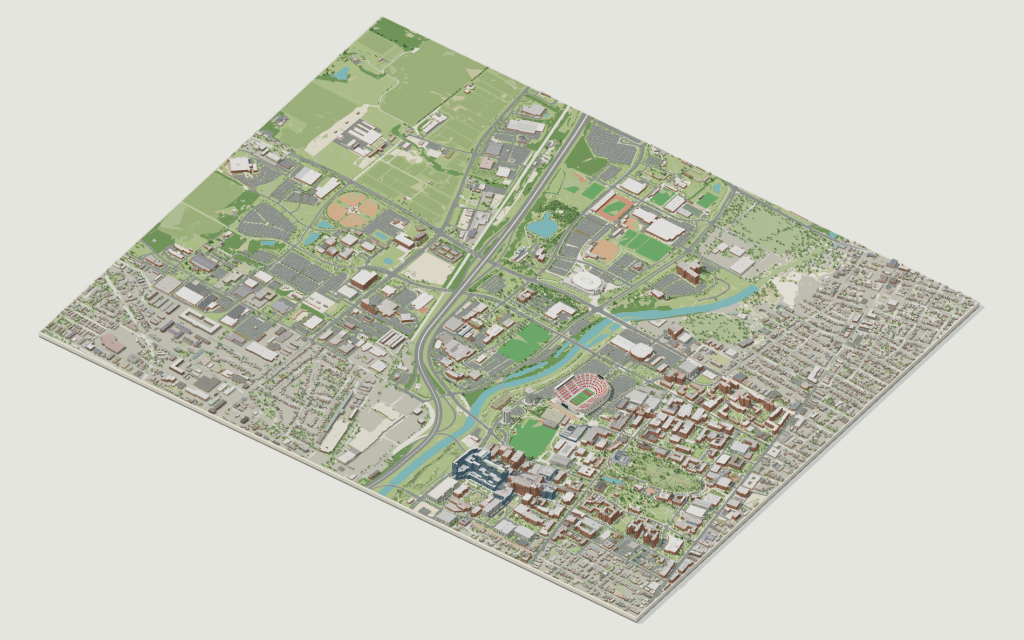
Rotate the campus, zoom in on any building and click it to see what is inside.
- Drag to orbit
- Scroll or pinch to zoom
- Click a building for details
- Right-drag to pan

Jump to a building
Pick a building to fly the map to it and open its departments and services. Every place at The Ohio State University is also searchable from the map itself.
The Ohio State University
Campus directory
Faculties, departments, libraries and services across the campus. Pick one and the map takes you there, in 3D or 2D.
No matching places. Try another name.
About this map
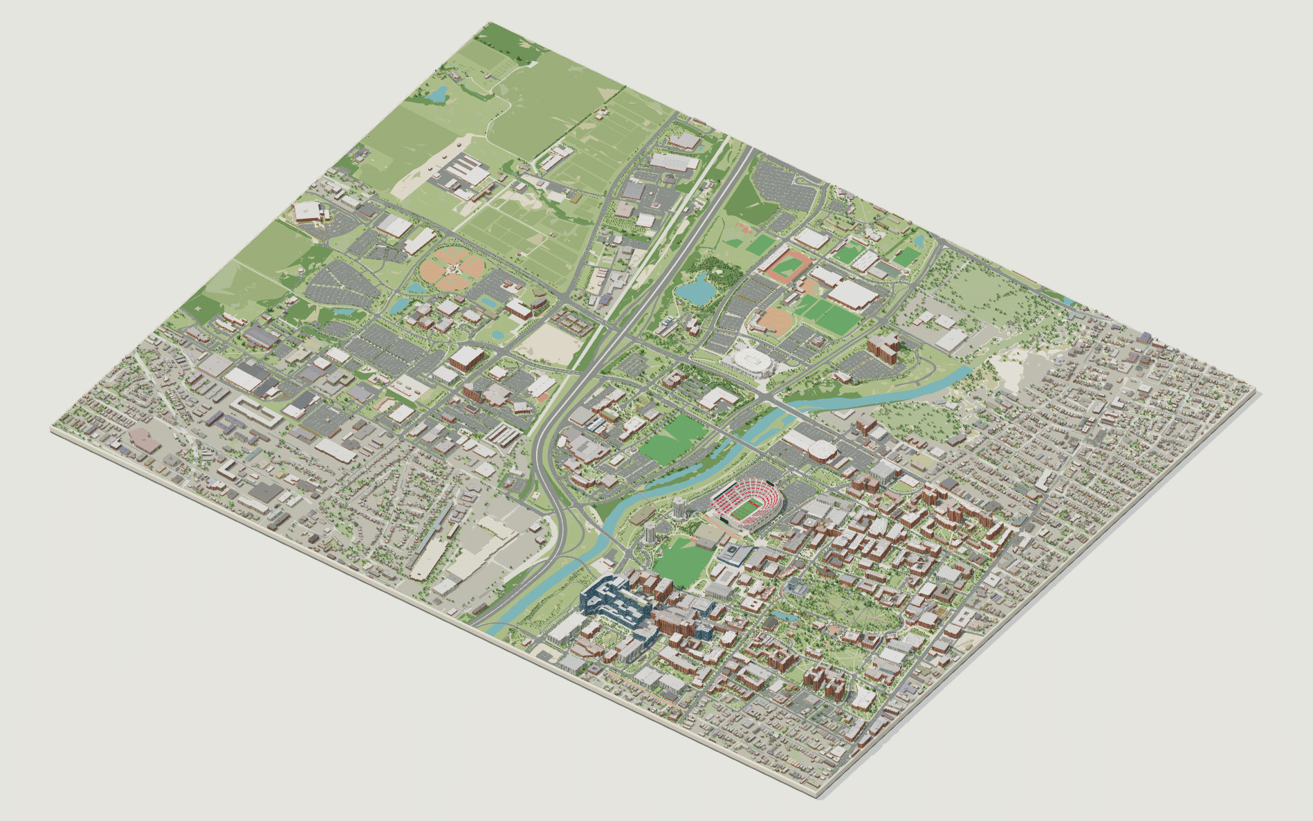
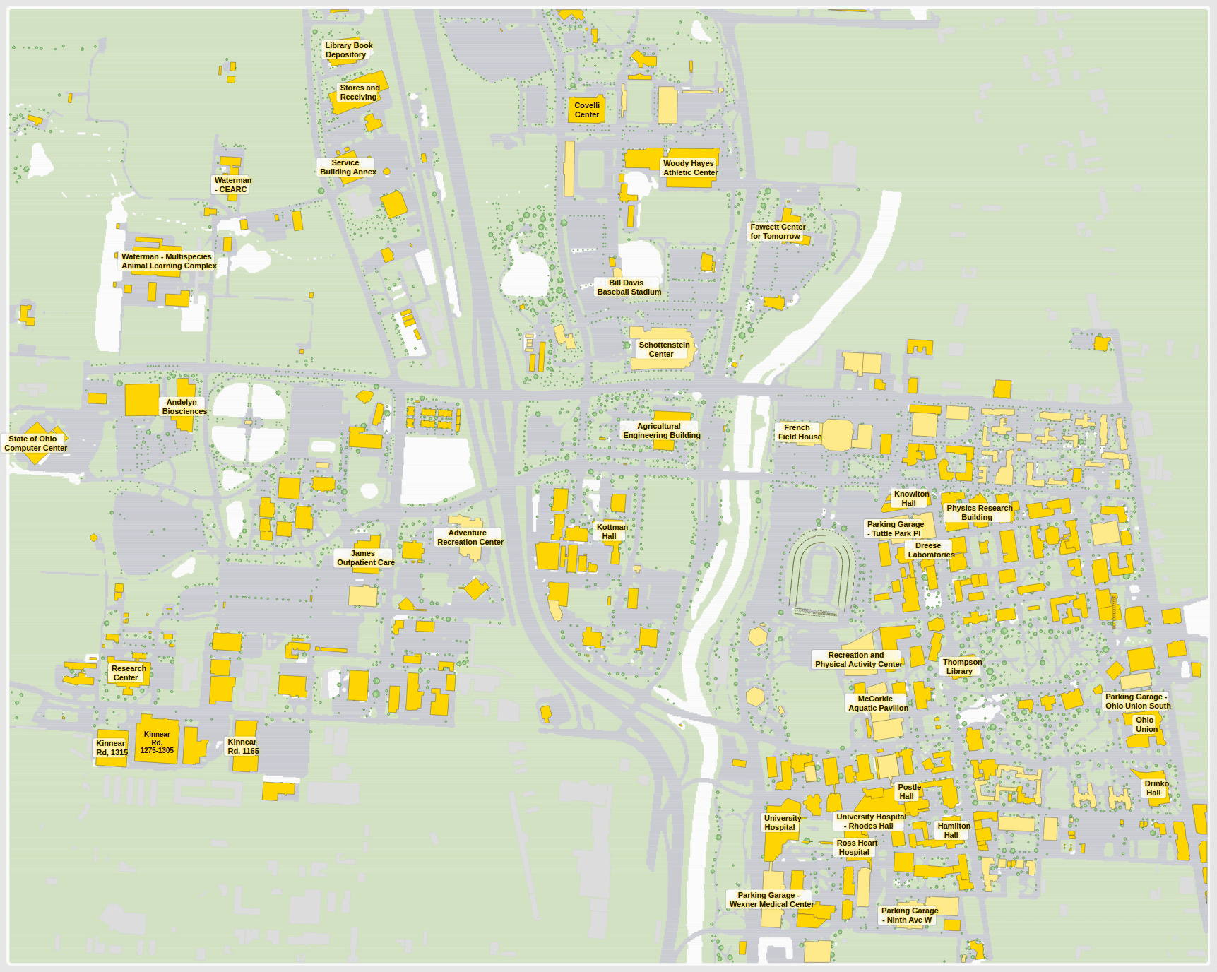
An interactive map of The Ohio State University’s Columbus campus, drawn building by building: the Oval with Thompson Library at its head, the Ohio Union and High Street along the east edge, Ohio Stadium and the athletics district on the Olentangy, the Wexner Medical Center to the south and the agricultural and west campus beyond the river. The 3D model, built from the university’s own GIS footprints, shows how the Oval anchors everything around it; the flat 2D plan is the quickest way to find a hall, a library or a parking garage. Click any building for its departments, centers and services, or search the campus directory below.
The Ohio State University in 3D
The Ohio State University 2D plan
More campus maps
- California State University, Long BeachLong Beach, California
- Florida Atlantic UniversityBoca Raton, Florida
- Massachusetts Institute of TechnologyCambridge, Massachusetts
- San José State UniversitySan José, California
- The University of Texas at AustinAustin, Texas
- University of California, BerkeleyBerkeley, California
- University of California, San DiegoLa Jolla, California
- University of California, Santa CruzSanta Cruz, California
- University of Central FloridaOrlando, Florida
- University of OregonEugene, Oregon
- University of UtahSalt Lake City, Utah
- University of WashingtonSeattle, Washington