
3D and 2D campus map · East Lansing, Michigan
Michigan State University (MSU) Campus Map
Rotate the campus, zoom in on any building and click it to see what is inside.
- Drag to orbit
- Scroll or pinch to zoom
- Click a building for details
- Right-drag to pan

Jump to a building
Pick a building to fly the map to it and open its departments and services. Every place at Michigan State University is also searchable from the map itself.
Michigan State University
Campus directory
Faculties, departments, libraries and services across the campus. Pick one and the map takes you there, in 3D or 2D.
No matching places. Try another name.
About this map
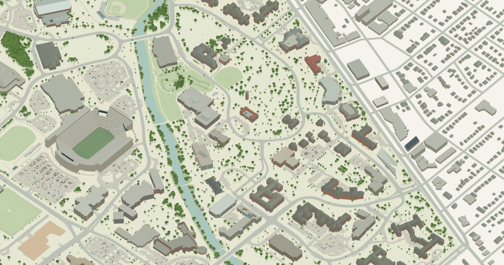
An interactive map of Michigan State University’s campus in East Lansing, one of the largest in the country, drawn building by building from the historic north campus around Beaumont Tower and the Main Library, across the Red Cedar River to Wells Hall, the residence neighbourhoods, Spartan Stadium and the Breslin Center. The 3D model shows how the river and the ring roads shape the campus; the flat 2D plan is the faster way to find a hall or a bus stop. Click any building for its departments, labs and services, or search the campus directory below.
Michigan State University in 3D
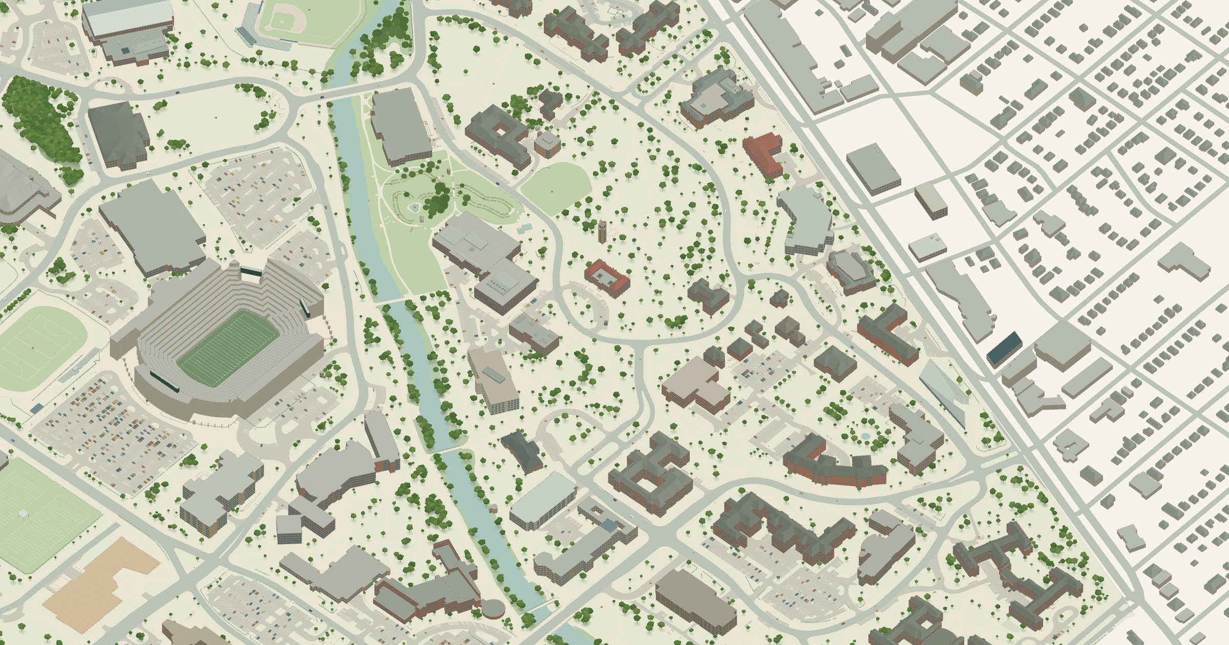
Michigan State University 2D plan
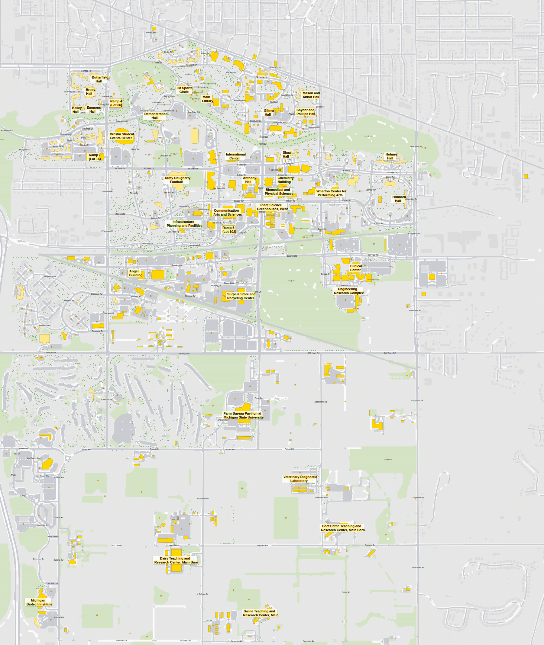
More campus maps
- California State University, FullertonFullerton, California
- California State University, NorthridgeNorthridge, California
- Columbia UniversityMorningside Heights, New York City
- Florida State UniversityTallahassee, Florida
- Iowa State UniversityAmes, Iowa
- San Diego State UniversitySan Diego, California
- University of California, DavisDavis, California
- University of California, Santa BarbaraSanta Barbara, California
- University of FloridaGainesville, Florida
- University of Maryland, College ParkCollege Park, Maryland
- University of Notre DameNotre Dame, Indiana
- University of South FloridaTampa, Florida