
3D and 2D campus map · Fresno, California
California State University, Fresno (Fresno State) Campus Map
Rotate the campus, zoom in on any building and click it to see what is inside.
- Drag to orbit
- Scroll or pinch to zoom
- Click a building for details
- Right-drag to pan

Jump to a building
Pick a building to fly the map to it and open its departments and services. Every place at California State University, Fresno is also searchable from the map itself.
California State University, Fresno
Campus directory
Faculties, departments, libraries and services across the campus. Pick one and the map takes you there, in 3D or 2D.
No matching places. Try another name.
About this map
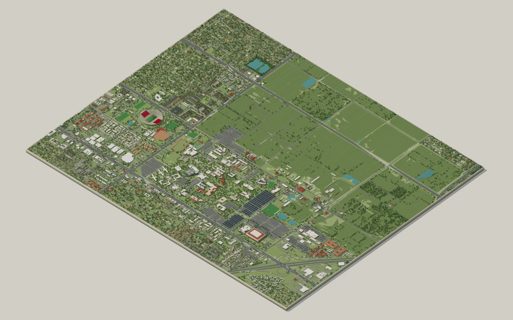
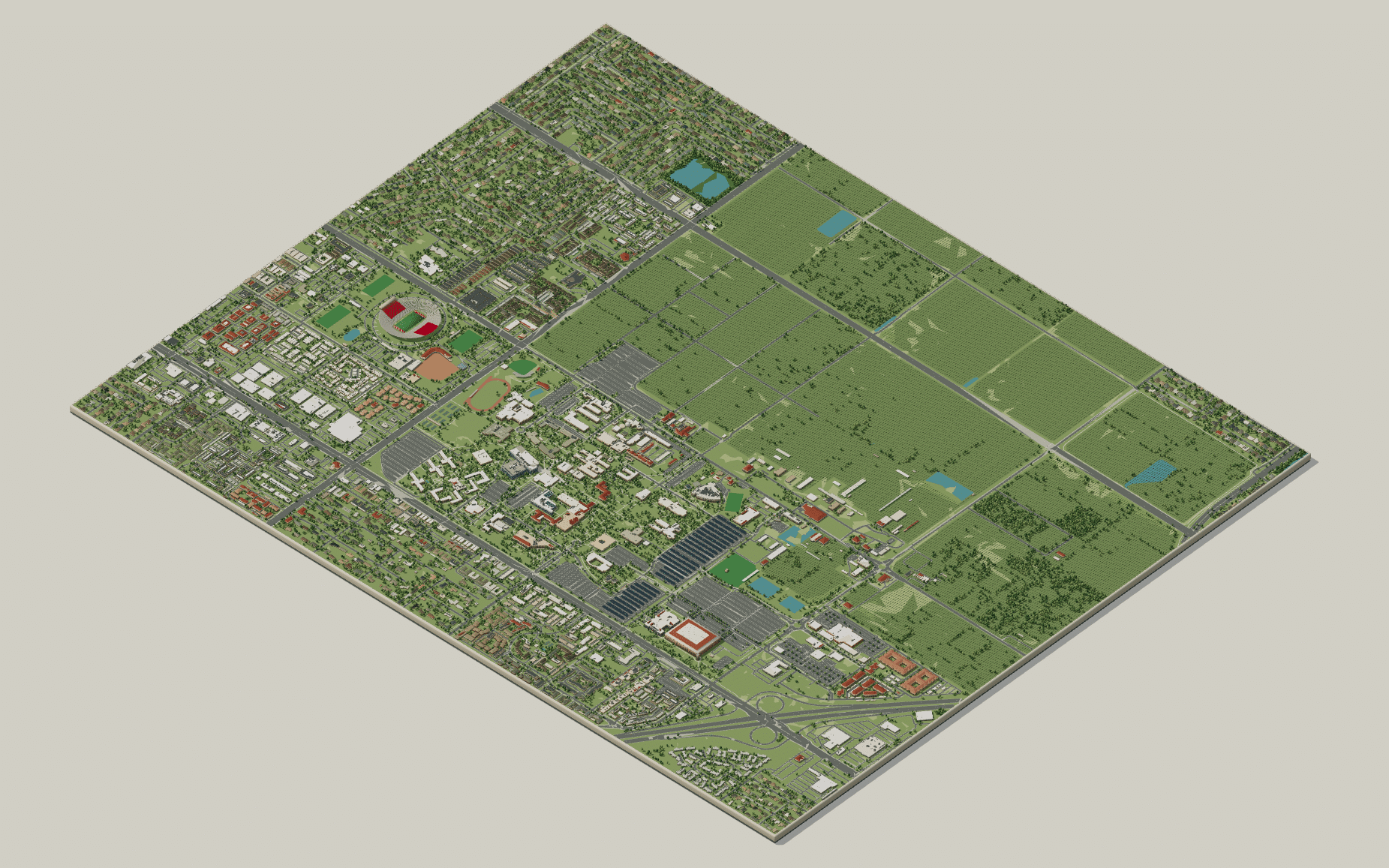
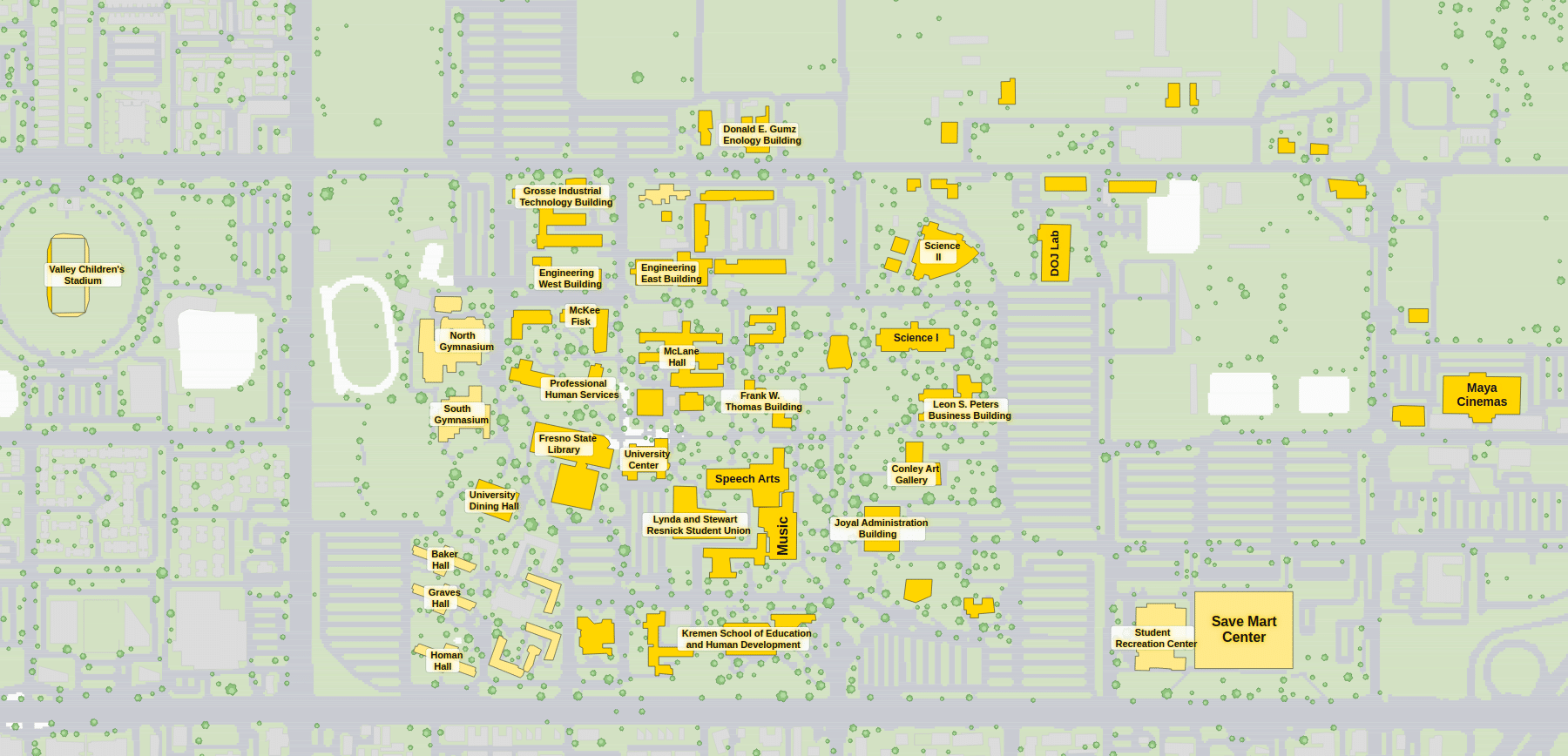
California State University, Fresno sits on the floor of the San Joaquin Valley, and its central walks are shaded by some of the oldest trees on campus. Around them stand the Henry Madden Library, the Lynda and Stewart Resnick Student Union and the Joyal Administration Building, with the residence halls to the north and the Save Mart Center and Valley Children’s Stadium out east. Turn the 3D model to see the farmland beyond, or open the labelled 2D plan if all you need is a room.
California State University, Fresno in 3D
California State University, Fresno 2D plan
More campus maps
- California Polytechnic State University, San Luis ObispoSan Luis Obispo, California
- California State University, FullertonFullerton, California
- California State University, NorthridgeNorthridge, California
- California State University, SacramentoSacramento, California
- San Diego State UniversitySan Diego, California
- University of California, DavisDavis, California
- University of California, Santa BarbaraSanta Barbara, California
- University of Southern CaliforniaLos Angeles, California
- Louisiana State UniversityBaton Rouge, Louisiana
- North Carolina State UniversityRaleigh, North Carolina
- University of ArkansasFayetteville, Arkansas
- University of Colorado BoulderBoulder, Colorado